 D in the remote village of Olantaytambo at 7AM on the first morning. This is the assembly point and there are trucks of porters and gear everywhere. We had left Cuzco at 5AM to do the 2 hour drive to get here for a 7AM start.
 This is our group at a place known as KM82, and is the official start of the Inca Trail. The trail is 43KM long and climbs to an altitude of 4200M. We would do this over three days, camping three nights at various points along the route. We planned to arrive into the Machu Picchu site at 7AM on the morning of the 4th day with the full day to explore the site itself.
  Camp site 1, at Wayllabamba after the first day and first 12KM of the hike. First day was relatively easy and allowed everyone get into their stride and adjust to climbing at altitude. Most people like us have spent a few days in Cuzco (3300M) beforehand to acclimatise.
 L settling in for the evening ....
 Actually as camping goes this was pretty comfortable - that's the dining room behind me that was set up to seat all 14 of the group
 As well as 14 trekkers we had a full complement of porters to carry tents, food and all the gear, together with a group leader and assistant guide and two camp cooks who organised all of the food. This is the full group on day 2 at 7AM at camp site 1.
 This is the view back down the valley towards camp site 1 on the climb up to dead woman's pass
OK, I can't feel my legs.....
This post marks the top of the pass at 4200M - that's 13,800Ft.
 After an absolute slog for 6 hours we reach the top of dead woman's pass. As the highest point of the trek that's 4.2KM of altitude this is a real milestone. When you get to this point you think, if I can survive this I can get to the end!
 The mountains are sheer and almost vertical in places. Added to the high altitude this makes it really tough going.
 L standing at the top of dead woman's pass looking down towards the valley where we would make camp for our 2nd night at Pacamayo, altitude 3600M
 The shot above is the view back towards dead woman's pass taken at 7am on day three as we climb out of the valley from camp site 2 at .

 The peaks shown in the image above are over 6000 meters ( that's 19,000 feet). The shot was taken from the top of the highest pass we crossed on day 3, Runkurakay at about 3800M. This is a great vantage point - you can see the glaciers on the tops right down to the cloud forest below.
 Taking a breather - at this altitude the biggest problem is dealing with the lack of oxygen. The porters ( behind me) don't seem to be bothered by this but then they live at altitude
 Above is the Winawayna camp site, Altitude 2700M, where we spent our 3rd and final night before the final approach to Machu Picchu - the seven red tents to the right of picture is our group
 As dawn breaks the high ridges come into view. We are now standing on the tops looking down into Machu Picchu and are ready to make our descent.
 Bleary eyed but pleased to see the clouds lifting behind me. It's 6.45 Am here and we have already been up 3 hours and hiked 6KM through the forest
 Lorraine with our two group leaders Carlos and Miguel. Note the expression of relief!! Our last climb finished it will be downhill from here.
 And a collective sigh of relief - the whole group poses for a photo
 And the morning mists gradually clear revealing a stunning vista...

 The Machu Picchu complex was a city of about 2,000 people and is quite extensive
 The steps cling on to the steep hillsides - these were built to prevent landslides

 In some places the terraces are impossibly steep
 The whole site takes a few hours to see - we have tried to just show some of the best views here

 After an absolute slog for 6 hours we reach the top of dead woman's pass. As the highest point of the trek that's 4.2KM of altitude this is a real milestone. When you get to this point you think, if I can survive this I can get to the end!
 The mountains are sheer and almost vertical in places. Added to the high altitude this makes it really tough going.
 L standing at the top of dead woman's pass looking down towards the valley where we would make camp for our 2nd night at Pacamayo, altitude 3600M
 The shot above is the view back towards dead woman's pass taken at 7am on day three as we climb out of the valley from camp site 2 at .
 The peaks shown in the image above are over 6000 meters ( that's 19,000 feet). The shot was taken from the top of the highest pass we crossed on day 3, Runkurakay at about 3800M. This is a great vantage point - you can see the glaciers on the tops right down to the cloud forest below.
 Taking a breather - at this altitude the biggest problem is dealing with the lack of oxygen. The porters ( behind me) don't seem to be bothered by this but then they live at altitude
 Above is the Winawayna camp site, Altitude 2700M, where we spent our 3rd and final night before the final approach to Machu Picchu - the seven red tents to the right of picture is our group
 As dawn breaks the high ridges come into view. We are now standing on the tops looking down into Machu Picchu and are ready to make our descent.
 Bleary eyed but pleased to see the clouds lifting behind me. It's 6.45 Am here and we have already been up 3 hours and hiked 6KM through the forest
 Lorraine with our two group leaders Carlos and Miguel. Note the expression of relief!! Our last climb finished it will be downhill from here.
 And a collective sigh of relief - the whole group poses for a photo
 And the morning mists gradually clear revealing a stunning vista...
 The Machu Picchu complex was a city of about 2,000 people and is quite extensive
 The steps cling on to the steep hillsides - these were built to prevent landslides
 In some places the terraces are impossibly steep
 The whole site takes a few hours to see - we have tried to just show some of the best views here
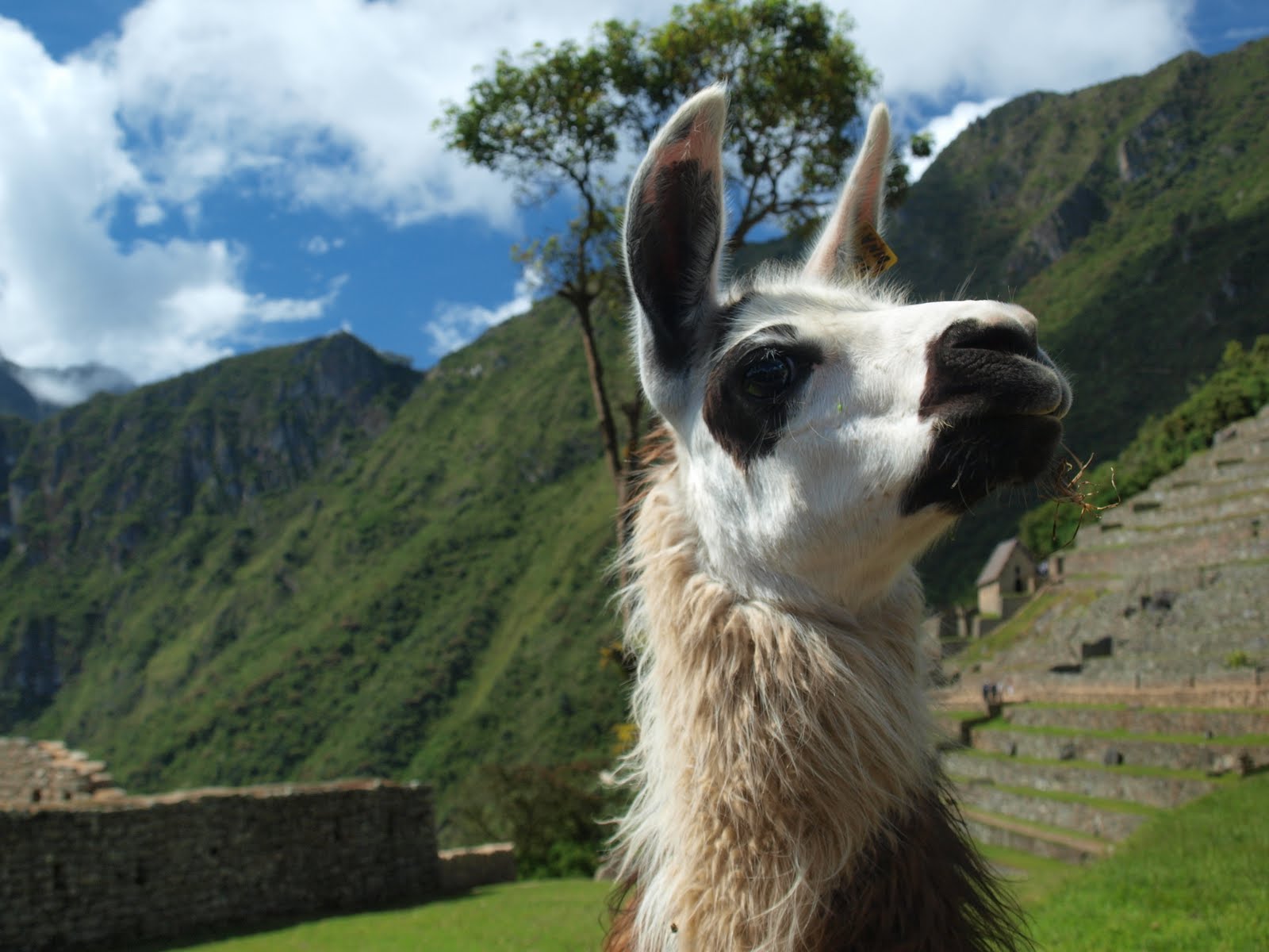
Say there, d' ya think ya could take my photo?
That's it from Machu Picchu - next stop Puno and Lake Titticcaca
No comments:
Post a Comment